 |
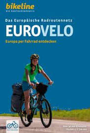
Bikeline Radreiseführer Panorama
Europa per Fahrrad entdecken
über 90.000 km, 1:500.000, GPS-Tracks Download, Höhenprofile
EuroVelo ist ein Netz von Radfernwegen, die den gesamten europäischen Kontinent miteinander verbinden. Das EuroVelo-Netzwerk besteht aus 17 Radwegen von 1.000 bis 10.000 Kilometer Länge, die ganz Europa durchziehen: zehn Nord-Süd-Wege, fünf West-Ost-Wege und zwei Rundwege. Es gibt unzählige Radfernwege, die ein unbeschwertes Radeln ermöglichen. Die Vielfalt ist enorm, finden sich doch Radwege entlang von Flüssen, an Meeresküsten, auf ehemaligen Bahntrassen, um Seen, auf den Spuren von Kunst und Kultur oder durch ursprüngliche Naturlandschaften. Entdecken Sie Europa auf zwei Rädern entlang der EuroVelo-Routen! Das Buch EuroVelo - Europa per Fahrrad entdecken ist der perfekte Ratgeber für Ihre nächste große Radtour. Schmökern und schwelgen Sie in dem vorliegenden Übersichtswerk über die 17 beeindruckenden Radrouten, die über rund 90.000¿Kilometer durch 30 Länder in ganz Europa führen.
hier direkt bestellen
|
 |
Bikeline Radreisefüher
Radfernweg Berlin - Kopenhagen
1:75.000, 690 km, wetterfest/reißfest, GPS-Tracks Download, LiveUpdate
hier direkt bestellen
|
 |
Bikeline Radreiseführer
Radregion
Dänemark Ost
auf den Inseln SjÆlland, Lolland, Fastr und MØn
1:75000, 27 Touren, 1236 km, 67 Karte, Ortspläne, ÜVZ
wetterfest, GPS-Tracks
hier direkt bestellen
|
 |
Bikeline Radreiseführer
Heerweg Ochsenweg
Auf den Spuren des ältesten Landfernweges
Auf der Pilgerroute Eurovelo 3 von Fredrikshavn nach Hamburg
1:75.000, 820 km
|
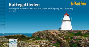 |
Bikeline Radreiseführer
Kattegattleden
Entlang der schwedischen Westküste von Helsingborg nach Göteborg
1:50.000, 395 km, GPS Track, LiveUpdate
|
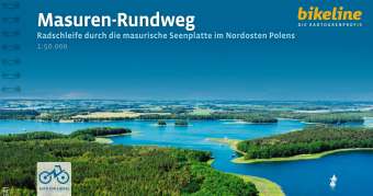 |
Bikeline Radreiseführer
Masuren-Rundweg
Radschleife durch die masurische Seenplatte im Nordosten Polens
300 km, 50.000, GPS-Tracks, LiveUpdate
|
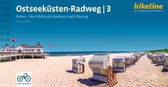 |
Bikeline Radreiseführer
Ostseeküsten-Radweg 3
Polen. Von Ahlbeck /Usedom nach Danzig
465 km
|
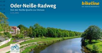 |
Bikeline Radreiseführer
Oder-Neiße-Radweg
Von der Neiße-Quelle zur Ostsee
1:75.000, 640 km, GPS-Tracks Download, LiveUpdate
CZ - D - PL
|
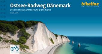 |
Bikeline Radreiseführer
Ostsee-Radweg Dänemark
Die schönste Fahrradroute Dänemarks
1:75.000, 874 km, GPS-Tracks Download, LiveUpdate
|
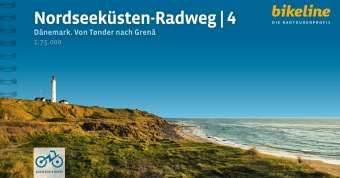 |
Bikeline Radreiseführer
Nordseeküsten-Radweg 4
Teil 4: Dänemark - Von Tønder nach Grenâ,
820 km, 1:75.000, GPS-Tracks Download, LiveUpdate
|
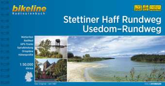 |
Bikeline Radreiseführer
Stettiner Haff Rundweg . Usedom-Rundweg
434 km
1:50.000,
132 Seiten, zahlreiche Karten und Abbildungen
|
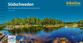 |
Bikeline Radreiseführer
Südschweden
Von
Skåne nach Småland und zurück
1:75.000, 613 km
Vor Ihnen liegt eine Rundreise durch drei der südlichsten Provinzen Schwedens - Skåne, Blekinge und Småland - die Sie mit einer bunten Mischung schwedischer Klassiker erwarten. Seien es nun glasklare Seen oder strohblonde Kornfelder, rote Holzhäuschen oder verschwiegene Wälder - die Vielfalt der Landschaft wird Sie begeistern. In Skåne kommen Sie durch die Kornkammer Schwedens, wo das Blau des Meeres eindrucksvoll mit den goldgelben Kornfeldern kontrastiert, später in Blekinge durch die "südlichste Wildnis Schwedens" mit ihren weiten Wäldern und Flusslandschaften, und schließlich gelangen Sie in Småland zum verschlungenen Wasserreich des Åsnen, dem zweitgrößten See der Provinz. Reizvolle Radwege auf stillgelegten Bahntrassen atmen Zeitkolorit und sorgen an vielen Stellen für bequeme Verbindungen. Im letzten Drittel der Tour folgen Sie der Küstenlinie der Ostsee durch die schöne Region Österlen, der "Provence des Nordens", mit ihren weiten Obstplantagen, pittoresken Fischerdörfern und langen Sandstränden. Am Weg liegt mit dem sehenswerten Malmö die drittgrößte Stadt des Landes, nicht weit davon die alte Universitätsstadt Lund, die als kulturelles Zentrum des schwedischen Südens gilt. Für weitere Abwechslung sorgen alte Burgen und Schlösser, Badeseen sowie charmante Hafenstädte. Zusammen mit der Gastfreundlichkeit der Schweden und den kleinen und großen Gaumenfreuden unterwegs steht einer schönen Zeit nichts im Wege!
|
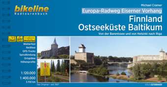 |
Bikeline Radreiseführer
Europa Radweg Eiserner Vorhang 1
Finnland / Ostseeküste Baltikum
Von der Barentssee und von Helsinki nach Riga
3.700 km
Estland, Finnland, Lettland, Norwegen, Russland
GPS-Tracks Download, LiveUpdate, Übernachtungsverzeichnis
2. überarbeitete Auflage 2026
|
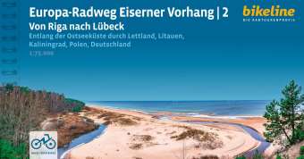 |
Bikeline Radreiseführer
Europa-Radweg Eiserner Vorhang 2 - Europa-Radweg -
Ostseeküste
Von Riga nach Lübeck
1:85.000, 1.700 km
Geschichte im wahrsten Sinne des Wortes erfahrbar zu machen - das ist das Ziel des "Europa-Radwegs Eiserner Vorhang". Von der Barentssee bis zum Schwarzen Meer führt er an der Westgrenze der ehemaligen Warschauer-Pakt-Staaten entlang quer durch Europa. Dabei verbindet die Route nicht nur europäische Kultur, Geschichte und nachhaltigen Tourismus, sondern leitet geschichtsinteressierte Radelnde auch durch abwechslungsreiche Landschaften und einzigartige Biotope des Europäischen Grünen Bandes, die im Grenzstreifen entstehen konnten.
200 Seiten, zahlreiche Karten und Abbildungen,
4. überarbeitete Auflage 2023
|
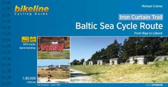 |
Bikeline Radreiseführer
Cycling Guide
Iron Curtain Trail 2 - Baltic Sea Cycle Route
from Riga to Luebeck
1700 km
To properly live, breathe and experience history - that is the goal of the "Iron Curtain Trail". From the Barents Sea to the Black Sea, this guide takes you along the Western border of the former Warsaw Pact countries, all the way across Europe. The route does not just connect European culture, history and sustainable tourism but it also provides historically-interested cyclists with some spectacularly beautiful and varied landscapes and unique habitats that were able to emerge in the former border strip, which is today the European Green Belt.
The maps in the revised edition are more accurately scaled at 1: 85, 000. This volume describes the 1, 700-kilometre-long part of the route along the Baltic Sea Cycle Route from Riga to Lübeck
|
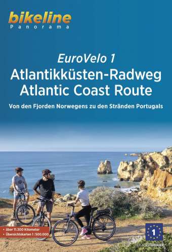 |
Bikeline Radreiseführer
Cycling Guide
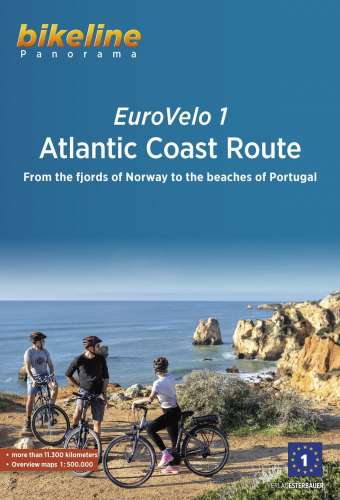
EuroVelo 1 - Atlantikküsten-Radweg
Atlantic Coast Route
Von den Fjorden Norwegens zu den Stränden Portugals
1:500.000, 11.150 km
|
 |
Bikeline Radreiseführer
Cycling Guide
EuroVelo 1 Atlantic Coast Route
From the fjords of Norway to the beaches of Portugal, 11.150 km, 1:500.000
|
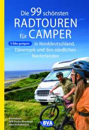 |
Die 99 schönsten Radtouren für Camper in Norddeutschland, Dänemark und den nördlichen Niederlanden
E-Bike geeignet, mit GPX-Tracks-Download
Camping ist "IN" - seit Jahren werden Zulassungsrekorde für Wohnmobile und Wohnwagen erzielt, und auch der Urlaub im Zelt hat eine Renaissance erlebt.
Die meisten Camper nehmen aber nicht nur ihr Bett, sondern auch ihr Fahrrad mit in den Urlaub.
Für dieses Buch haben wir schöne Regionen und Stellplätze in Norddeutschland, Dänemark und den nördlichen Niederlanden ausgewählt und für jedes Quartier 2 - 3 Fahrradtouren ausgearbeitet.
Zu jeder Tour gibt es eine Streckenbeschreibung, Highlights, alle Infos, eine Übersichskarte, herrliche Fotos und Tipps zu Sehens- und Erlebenswertem.
Zusätzliches kostenfreies Online-Angebot gpx-Tracks der Touren zum Download.
|
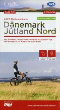 |
ADFC-Radtourenkarte
Dänemark Jütland Nord
1:150.000
reiß- und wetterfest, GPS-Tracks Download, E-Bike geeignet
Auf ans Meer! Der gesamte nördliche Teil Jütlands von der Nordspitze bis Aarhus auf einer Karte.
|
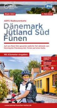 |
ADFC-Radtourenkarte DK2
Dänemark Jütland Süd Fünen
1: 150.000
reiß- und wetterfest, GPS-Tracks Download, E-Bike geeignet
Auf ans Meer! Der gesamte südliche Teil Jütlands von Herning bis Flensburg inkl. Fünen auf einer Karte
|
 |
ADFC Radtourenkarte DK3
Dänemark Kopenhagen Seeland
Auf ans Meer! Kopenhagen, Seeland, Falster und Lolland auf einer Karte, E-bike geeignet
1:150.000
- wetterfestes und reißfestes Papier
- zusätzliche kostenfreie Online-Angebote: gpx-Tracks der Themenrouten und Radfernwege zum Download
|
| |
|
_Rad_Aegerisee.jpg)
_rad_Simmentaler_Haeuserweg.jpg)
_Kapellbruecke.jpg)
.jpg)